A Map Is Also a Choice About What Matters
A map is a choice about what matters. Learn how scale, labels, and omissions shape what you notice, so you can choose a map that fits your decision.
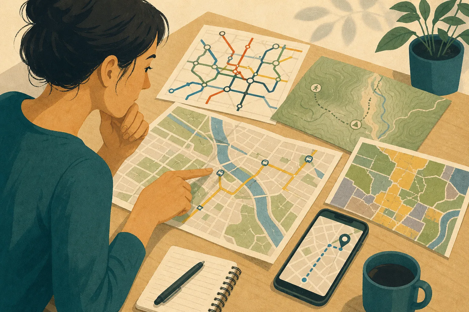
You unfold a neighborhood map to find a bus stop, but the thick blue route catches your eye before the small gray streets do. A map is a choice about what matters: its scale, labels, and omissions guide attention before you decide where to go. Reading those choices helps you use a map without mistaking its picture for the whole place.
Why does every map leave something out?
A map leaves things out because it must turn a complex place into a readable surface. A paper sheet, a phone screen, or a transit diagram has limited room. Even a detailed map cannot show every building, path, boundary, sound, and change happening at once.
Cartographers select what supports a map’s purpose. A road map emphasizes routes and junctions. A trail map may show elevation, water, and access points. A land-use map distinguishes categories such as residential, industrial, or protected areas. Each selection makes some questions easier to answer and others harder.
Omission is not automatically a flaw. A subway map that leaves out the exact shape of streets can make transfers easier to understand. But a reader should ask what has been omitted and whether that matters for the task. A map useful for catching a train may be poor for finding a quiet walking route.
Before relying on a map, name the question you need it to answer.
How does map scale change what I can see?
Scale describes the relationship between distance on a map and distance on the ground. A small-scale map covers a large area with fewer details. A large-scale map covers a smaller area and can show finer features, such as individual blocks or paths. The terms can feel backwards: “small scale” means the place is reduced more heavily.
At a regional scale, a river may appear as a bold line, while its bends, banks, and nearby footpaths disappear. At a neighborhood scale, the same river can be shown alongside bridges, parks, and streets. Neither view is more truthful in every respect; each makes a different level of detail legible.
Scale also affects apparent distance. A route that looks short across a screen may include steep slopes, stairs, or crossings that the map does not show. Conversely, a broad view can make separate districts appear close together while concealing the time and effort needed to travel between them.
Use a map at the scale that matches your decision, then check a more detailed view before acting on a route.
What do labels and symbols tell me?
Labels and symbols turn selected features into things a reader can recognize. A name can identify a street, neighborhood, or waterway; a symbol can mark a hospital, trailhead, or transit station. Their design creates a visual order. Large type often signals prominence, while color, line weight, and placement help separate categories.
That order is useful, but it can also suggest importance beyond what the map actually establishes. A large label may mark a familiar administrative district, not the place’s strongest community identity. A bold route may be prominent because it is a major transport line, not because it is the easiest route for every traveler.
Read the legend before interpreting the colors and marks. A green area might indicate a park, forest cover, or a land-use category; the legend tells you which. Also notice what the map calls places. Official labels may differ from names used by residents, and a single label can cover areas with varied histories or character.
When a name or symbol seems to settle a question, check what the map’s key says it means.
How can two maps make the same place look different?
Maps can make the same place look different by choosing different boundaries, themes, and visual hierarchies. A transit map organizes space around lines and connections. A political map emphasizes jurisdictions. A map of tree cover highlights vegetation. Each makes a particular relationship easy to see, while pushing other relationships into the background.
Imagine choosing a route to a public library in an unfamiliar neighborhood. One map shows the shortest street connection; another marks hills and pedestrian paths; a transit map shows a nearby bus stop but not the crossing conditions. Comparing them reveals useful differences. The shortest line may not be the most comfortable walk, and the bus stop’s proximity does not tell you whether the route from it is accessible.
For a route involving accessibility needs, do not treat a map line as confirmation that the way is usable. Check current local information about stairs, construction, sidewalk conditions, crossings, and entrances. Map coverage and update timing vary, and conditions can change; if a route detail is uncertain or consequential, ask the relevant transit agency, property, or local authority for guidance.
The goal is not to find one perfect map. Notice which map fits the question, then consult another kind of information when a missing detail could change your choice.
Which map should I use for a particular question?
Start with the decision you need to make, then select the map designed to show the relevant features. A map for transit connections may not answer a question about street access, so compare map types when your decision depends on more than one kind of detail.
Which map helps me choose a walking route?
Use a detailed street or trail map that shows paths, crossings, and terrain where available. For accessibility needs, verify current conditions with a local source rather than assuming the map includes every barrier or change.
Which map explains how a region is divided?
Use a political or administrative map that names its boundary system, such as municipal or county limits. If the division affects a real decision, consult the relevant public authority because boundaries and rules can change.
Which map should I use to understand transit connections?
A transit map is designed to make routes, stations, and transfers easier to compare. It may distort geographic distance, so use a street map as well when the walk between a station and your destination matters.
Can one map show both physical features and human activity?
Some maps combine terrain, roads, services, and settlement, but added layers can make details harder to distinguish. Compare a general-purpose map with a focused map for the feature you care about, such as elevation or land use.
What should I check before trusting a map?
Trust is better treated as a question of fit than as a yes-or-no judgment. A map may be useful for locating a major road and unhelpful for judging current access to a construction site. Check what it represents, when it was made or updated, and what decision you plan to make from it.
- Purpose: Check whether the map names its subject, such as transit, trails, or land use. If the purpose is clear and matches your question, use it for that task; otherwise, find a map with a stated purpose.
- Legend: Check whether colors and symbols have definitions. If the legend explains the marks you need, interpret them accordingly; if not, avoid inferring meaning from appearance and consult a clearer source.
- Scale: Check whether streets, paths, or boundaries are detailed enough for your decision. If they are, use this view; if they are not, switch to a closer view or a more detailed map.
- Date: Check for an update date or source note. If the information is current enough for your purpose, proceed with that understanding; if it could have changed, verify it with a current local source.
- Boundaries: Check whether a border is political, a service-area limit, or another kind of boundary. If the type is defined and fits your question, use it as labeled; if not, check the issuing organization’s description before relying on it.
- Missing features: Check whether a relevant detail, such as a pedestrian crossing, accessible entrance, or construction closure, is absent. If the detail is not needed, continue with the map’s stated scope; if it could change your route, seek another map or direct local information first.
Say you need to reach a library from a bus stop and use these invented details: a transit map marks the stop, a street map shows a sidewalk route, and a local notice reports construction near the library entrance. First, the transit map answers where to get off, but not how to reach the door. Next, the street map supplies a route, while its missing construction detail means it cannot settle current access. Then, check the local notice or contact the library about an open entrance and an unobstructed approach. If the library confirms a suitable approach, use the street route with that entrance in mind; if it cannot confirm one, choose another stop or route and seek local assistance before setting out. The result is a route decision based on each source’s limits, not on the shortest line alone.
Does a map show a place as it really is?
A map shows a constructed representation of a place, not the place in full. It can accurately record selected features while leaving out atmosphere, daily activity, disagreement, and personal meaning. A street line can show where a road runs without telling you how it feels to cross it.
That distinction matters when maps are used to describe communities. A boundary can make an area appear unified even when residents identify with different blocks or histories. A category can simplify a complicated mix of uses. These choices may be practical for the map’s purpose, but they should not be mistaken for neutral descriptions of everyone’s experience.
Ask who made the map, for whom, and to answer which question. Those questions do not invalidate the map; they give you a better sense of how to read it.
How can I read a map without treating it as the whole place?
Start with the map’s purpose, then look at its scale, legend, labels, and date. Compare it with another kind of map if the decision involves features the first one leaves out. For a place you can visit, observation and local knowledge may add context that a printed or digital view cannot provide.
A map is a choice about what matters, and noticing that choice makes the map more useful. You can follow its directions while staying alert to what its frame leaves beyond the edge.